Imaging as a Visual Language
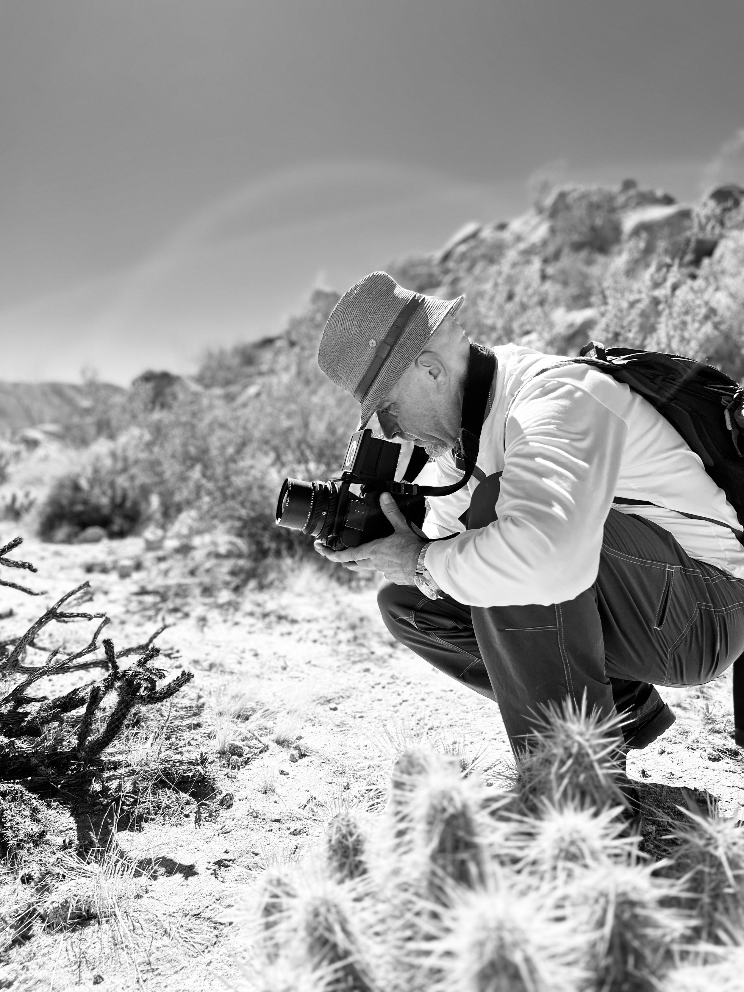
I study the world through different imaging technologies that include digital, analog and hybrid systems that allow for novel ways of seeing. I specialize in terrestrial, aerial and underwater photography and the use multiple techniques and technologies such as GigaPan, laser-scanning and photogrammetry, together these photographic methods provide significantly improved ways of seeing from which we can study, analyze and place value on a given site, object or context as well as be able to prioritize its conservation, stability, structure and preservation. These very images are also used to promote cultural values, symbols and their significance as a visual language through exhibits, books and installations.
GIGAPAN
Gigapan is about creating large panoramic images through in systematic way that utilizes a robotic head to capture a sequence of photographs of a given surface (object, site, surface, etc.) to create a seamless mosaic. These GigaPan images can then be utilized to study entire surfaces and contexts without ever loosing the finest detail. Similar technology was used to explore the surface of Mars, and now we apply this technology here on earth which allow us to tell stories within an image
PHOTOGRAMMETRY
Photogrammetry is a process. by which digital images are stitched together with the use of powerful software that creates a 3 dimensional point cloud and provides for scaled reconstructions in three dimensions of objects, surfaces, features, structures and any object that can be photographed.
Photogrammetry a recently discovered shipwreck at Boca Chica, Cartagena, Colombia.